 Some in the MIT community will know that just over 200 years ago, the first geological map of the United Kingdom was created by the son of a blacksmith, William Smith. But did you know that in honor of this fine achievement, the Geological Society of London has issued a map ‘done in the style of William Smith’s’, but showing the current rock record?
The Geological Map of Britain: Bicentennial 1815-2015, whose proper title is A delineation of the strata of Scotland, England, Wales, Northern Ireland and the Isle of Man: exhibiting the distribution of the different bedrock units as they would appear if the partial cover of superficial sediments, deposited by glaciers and rivers during the last two million years or so, were removed has joined the cataloged map collection located in the Hayden Library Basement. The map shows the geology with its usual symbols, lines, and legend in the wonderful style of hand-colored pastels Smith used. We also have the reproduction of the original 1815 map.
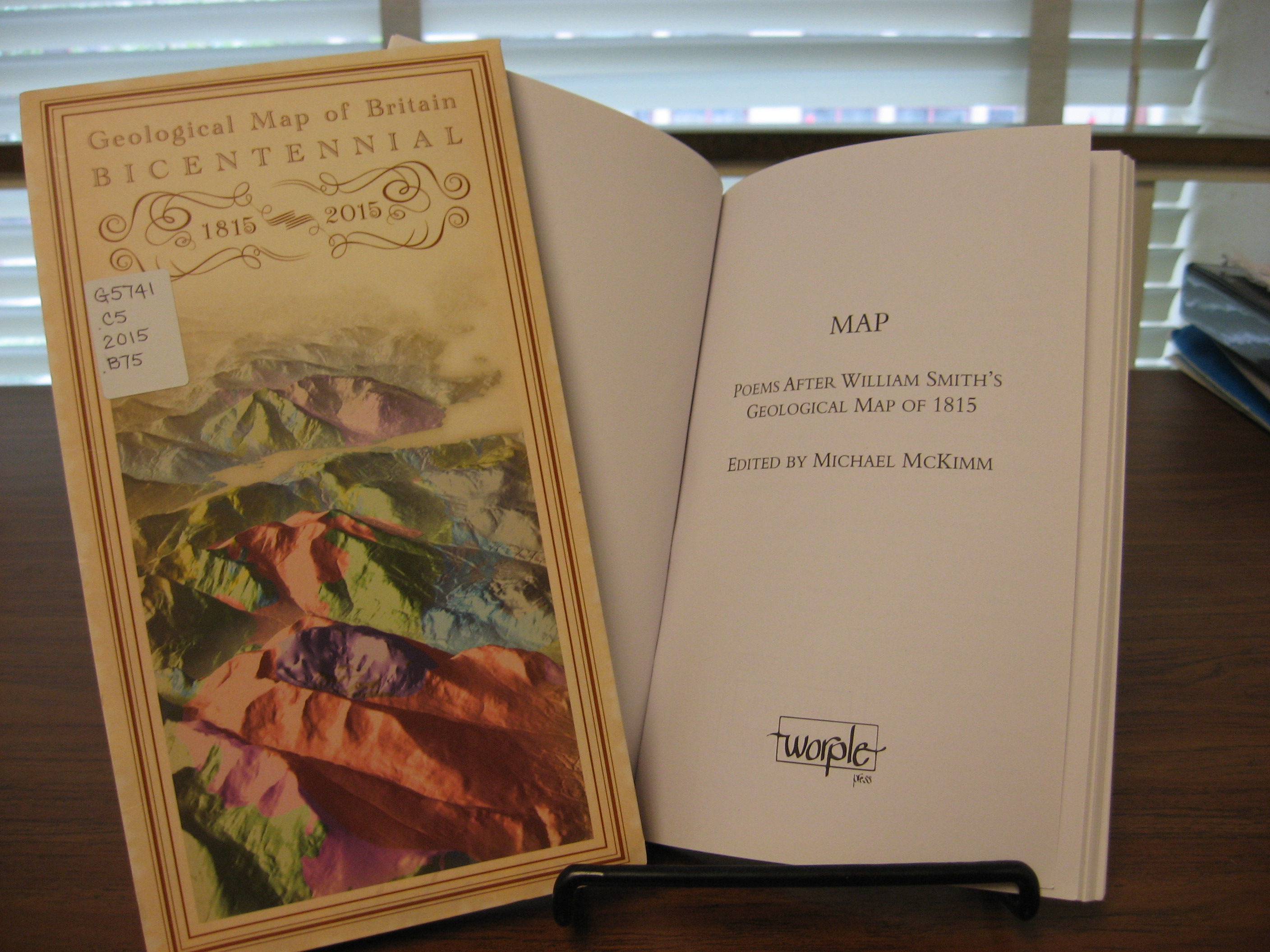
The story of Smith and his map was told in bestselling book The Map that Changed the World by Simon Winchester. Through it we journey with Smith through the 18th and 19th century, looking at what lies below us as well as what surrounds us. Smith and his mapping of outcrops, marshes, and geology also come to life through poetry: Map: Poems After William Smith’s Geological Map of 1815, published in 2015 and edited by Michael McKimm, collects poems written by geologists to honor the man and his momentous work.
Whether by map, book, or poem, the eyes and steps of this “Father of English Geology” are available to us through the MIT Libraries. Contact Michael Noga, EAPS librarian, for more information, and enjoy!