Event date
October 17, 2017
12 - 1pm
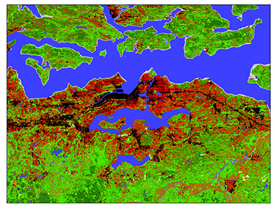 Come learn about satellite remote sensing, and get an overview of the many ways to process satellite imagery. There will be demos in ENVI and ArcGIS software, both of which are available in the GIS Lab. Note: Additional presentation times will be added based on demand.
Location: GIS Lab, Rotch Library (7-238), 3rd floor
Register
Contact: Madeline Wrable